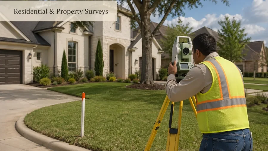
Residential & Property Surveys
For homeowners, buyers, and refinance requests where you need property survey information for closing, lender, lot, or general home-related needs.
residential and property survey help
Need help with a land survey in Houston, TX? Start with the property address, the reason you need the survey, and any deadline tied to a closing, construction project, fence, flood document, or commercial review.
Looking for a land surveyor in Houston, TX? Start with the property and project need. Common requests include residential title or mortgage surveys, lot and boundary surveys, ALTA/NSPS, topographic, elevation, platting, and construction layout support.
Request survey help for residential and commercial land surveying needs in Houston, including property surveys, boundary surveys, ALTA/NSPS surveys, topographic surveys, elevation certificates, construction staking, and platting support.
Houston, TX only · Request Survey Help
Share your property details and the type of survey you need. A Houston surveying provider can review your request and explain the next step.
Houston Survey Help for Property, Title, Flood, and Construction Needs
Services
Land surveying is used to measure, map, and document land, property boundaries, improvements, elevations, and site conditions. In Houston, surveys can be needed for residential properties, commercial sites, construction projects, flood-related documentation, land development, and real estate transactions.
Use this page as a starting point if you are not sure which survey type fits your situation.
For homeowners, buyers, and refinance requests where you need property survey information for closing, lender, lot, or general home-related needs.
residential and property survey help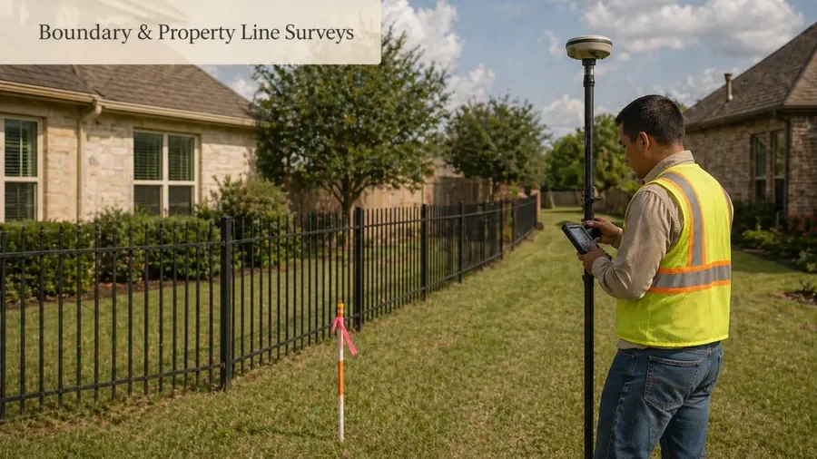
For property line questions, fence planning, lot corner concerns, encroachment issues, or neighbor boundary disputes.
boundary and property line survey help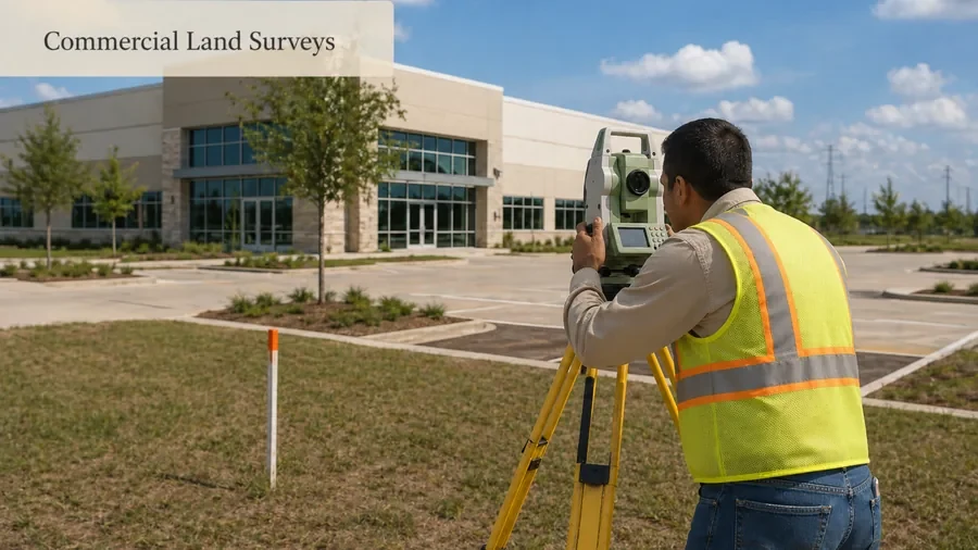
For commercial property buyers, developers, business owners, lenders, title companies, architects, and engineers who need survey information for due diligence or site planning.
commercial land survey support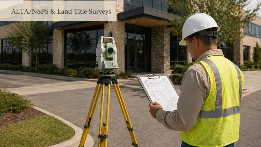
For commercial real estate, lender, attorney, or title-company needs where detailed title-related survey information may be required.
ALTA and land title survey help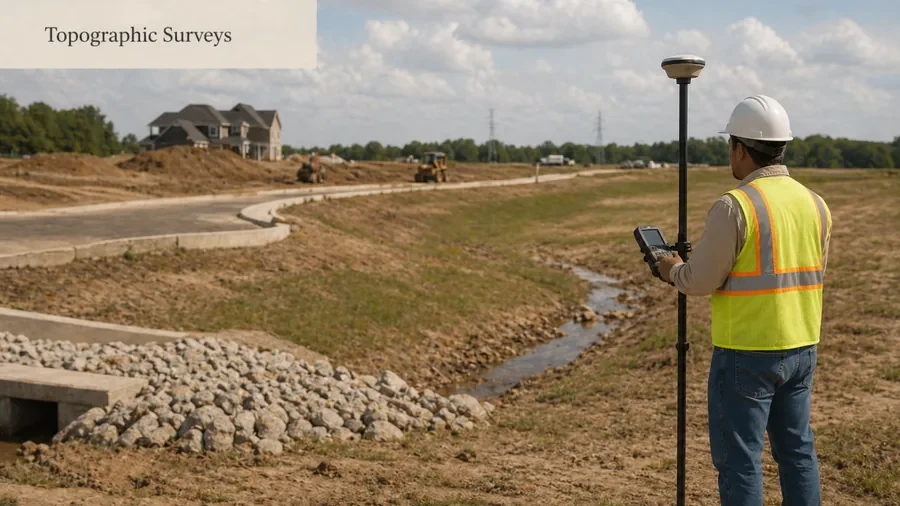
For site design, grading, drainage, engineering, development, and construction planning where elevations and site features matter.
topographic survey help for design and site planning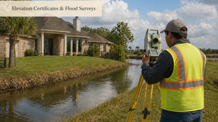
For flood insurance, permitting, floodplain documentation, or elevation-related property needs in Houston.
elevation certificate and flood survey help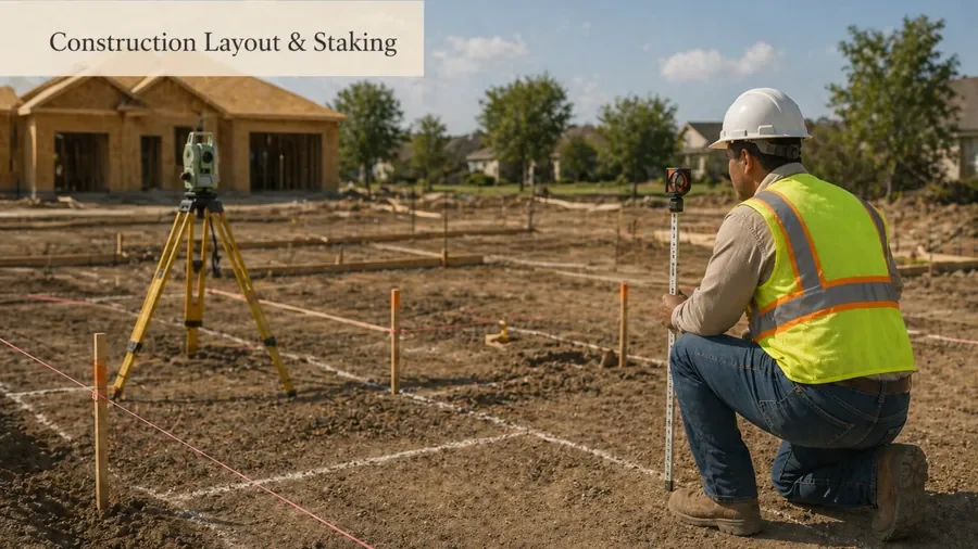
For builders and contractors who need layout points, building corners, foundations, site improvements, or construction-related survey support.
construction layout and staking support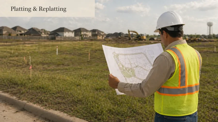
For land development, subdivision, lot changes, replatting, or city-related platting needs in Houston.
platting and replatting helpResidential
Homeowners and residential property buyers often need a survey before making property decisions. A residential survey may help with a home purchase, refinance, fence project, pool installation, garage addition, property line concern, or closing requirement.
A residential land survey may help you understand where improvements are located, what information a lender or title company may need, and whether a contractor has enough property information before work begins.
Boundary
A boundary survey or property line survey helps identify the limits of a property. Houston property owners may request this type of survey before building a fence, resolving a neighbor dispute, buying land, adding a structure, or confirming lot lines.
Commercial land surveying is usually more detailed than a basic residential survey. It may involve title review, site conditions, easements, improvements, access points, utilities, boundary data, and information needed by lenders, title companies, engineers, architects, or developers.
Commercial land survey supportAn ALTA/NSPS land title survey is commonly used for commercial real estate transactions. This type of survey is usually requested by lenders, title companies, attorneys, developers, and commercial property buyers. It may help identify boundaries, access, easements, improvements, and title-related survey matters.
ALTA and land title survey helpA topographic survey maps existing site features and elevations. This can be important for design, drainage, grading, engineering, construction planning, and site development. A topographic survey may include elevation changes, ground contours, existing structures, paved areas, trees, drainage conditions, and visible site features.
Topographic survey help for design and site planningHouston properties may need elevation-related documentation for floodplain, insurance, permitting, or construction purposes. An elevation certificate can provide elevation information for a structure or property based on required standards.
Elevation certificate and flood survey helpConstruction staking helps transfer design plans onto the actual site. Builders, contractors, and developers may use staking to mark where improvements should be placed before or during construction. It may be needed for building corners, foundations, site improvements, utilities, parking areas, roads, access areas, or drainage features.
Construction layout and staking supportPlatting and replatting are important for land development, subdivision, lot changes, and certain property improvements. City of Houston planning resources explain that subdivision plats are checked for proper subdivision of land, street or right-of-way, building lines, and compliance with land development rules.
Platting and replatting helpHow It Works
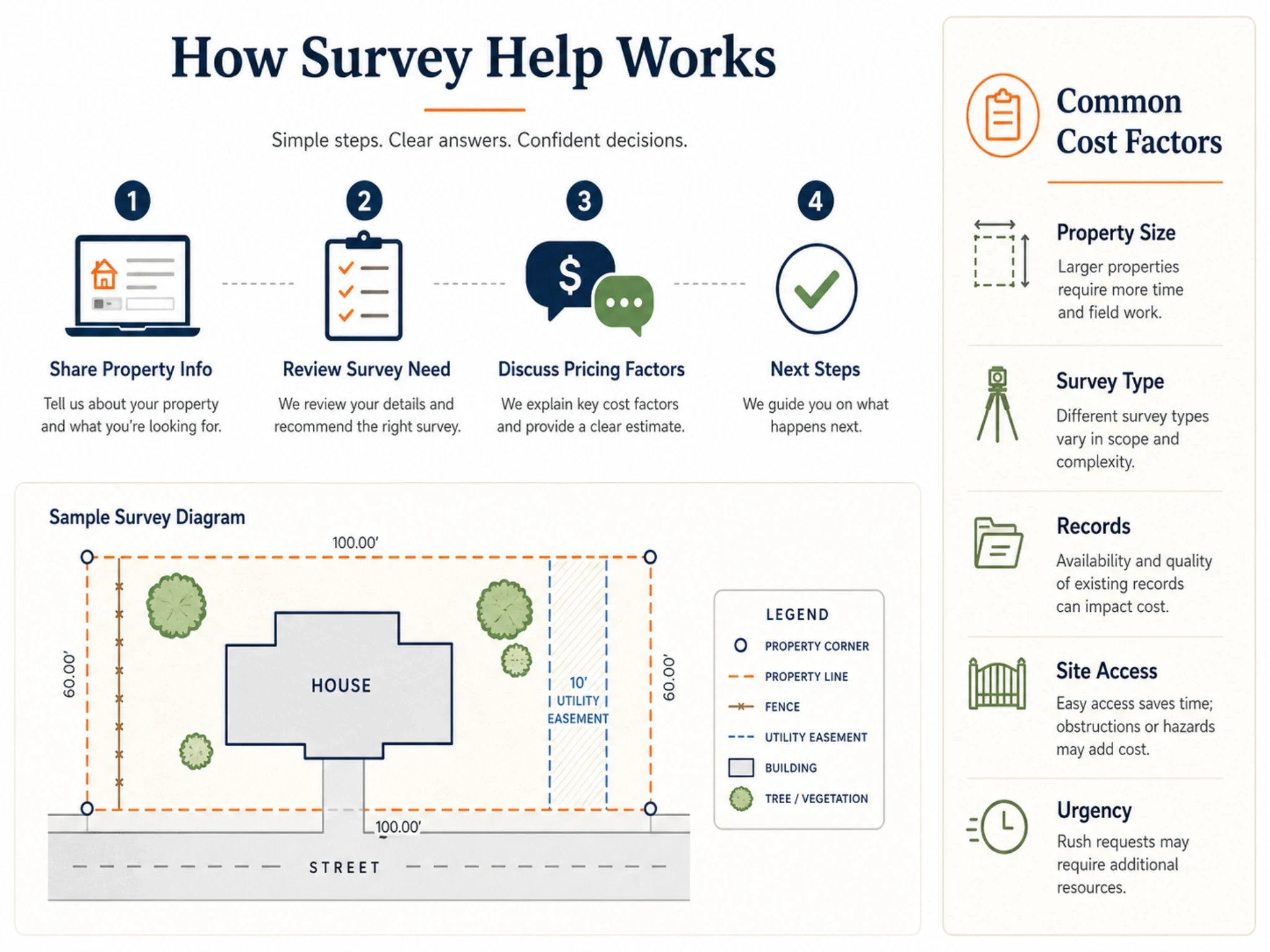
Share your property address, survey type, and reason for the survey.
A provider reviews the survey need and any available documents.
Pricing guidance is based on survey type, property size, records, access, deadline, and complexity.
If you move forward, the provider explains the next steps for field work, research, mapping, drafting, or document delivery.
Pricing
The cost of a land survey in Houston can vary because not every property or survey type is the same. A simple residential survey may be different from a commercial ALTA survey, topographic survey, elevation certificate, or construction staking project.
Land survey cost factors in HoustonWhy start here
Finding the right Houston land surveying help can be confusing when you are not sure what type of survey you need. This site makes the first step simpler: share your property details, explain your situation, and get directed toward the right survey help path.
This page supports Houston property owners, commercial clients, builders, real estate professionals, and development-related survey needs without making unverified licensed-provider claims.
Need help with a property survey, boundary survey, ALTA survey, topographic survey, elevation certificate, construction staking, or platting need in Houston? Request help online or share your property details so the situation can be reviewed.