Topographic and Engineering Design Support
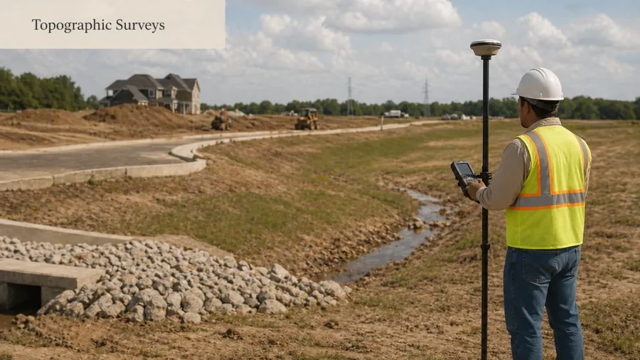
A topographic survey or engineering design project may need project control so elevations, site features, and plan data are tied to a consistent reference system.
Need GPS/CORS or control survey help for a Houston project? Survey control can support engineering design, topographic mapping, construction layout, commercial site work, and development projects that require reliable positioning or a consistent project datum.
Houston, TX only · Requests may be reviewed or routed to a Houston-area surveying provider.
Share your property address, the reason for the survey, and any deadline. A Houston surveying provider can review your request and explain the next step.
A control survey helps establish or verify reference points that other survey work can use. Depending on the project, this may involve GPS/GNSS methods, CORS-based positioning, datum control, benchmark information, or project control points used by surveyors, engineers, designers, or construction teams.
Control survey work helps a project use consistent reference points for mapping, design, layout, or documentation. In Houston, this type of support is often connected to topographic surveys, construction staking, commercial land surveys, civil engineering plans, and development projects where positions, elevations, or project coordinates need to be consistent.
Not every property survey needs GPS/CORS or control survey support. This page is most useful when a project requires consistent coordinates, benchmarks, site control, or reliable positioning for design, layout, or engineering coordination.
A topographic survey or engineering design project may need project control so elevations, site features, and plan data are tied to a consistent reference system.
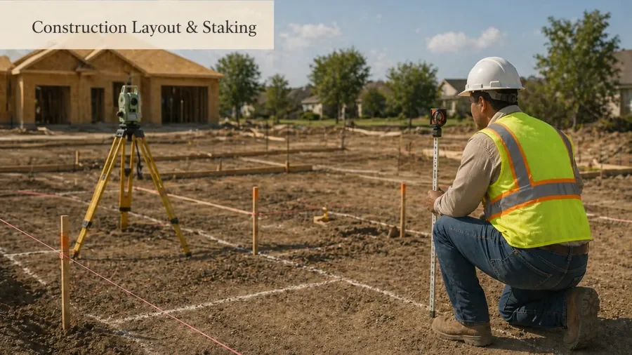
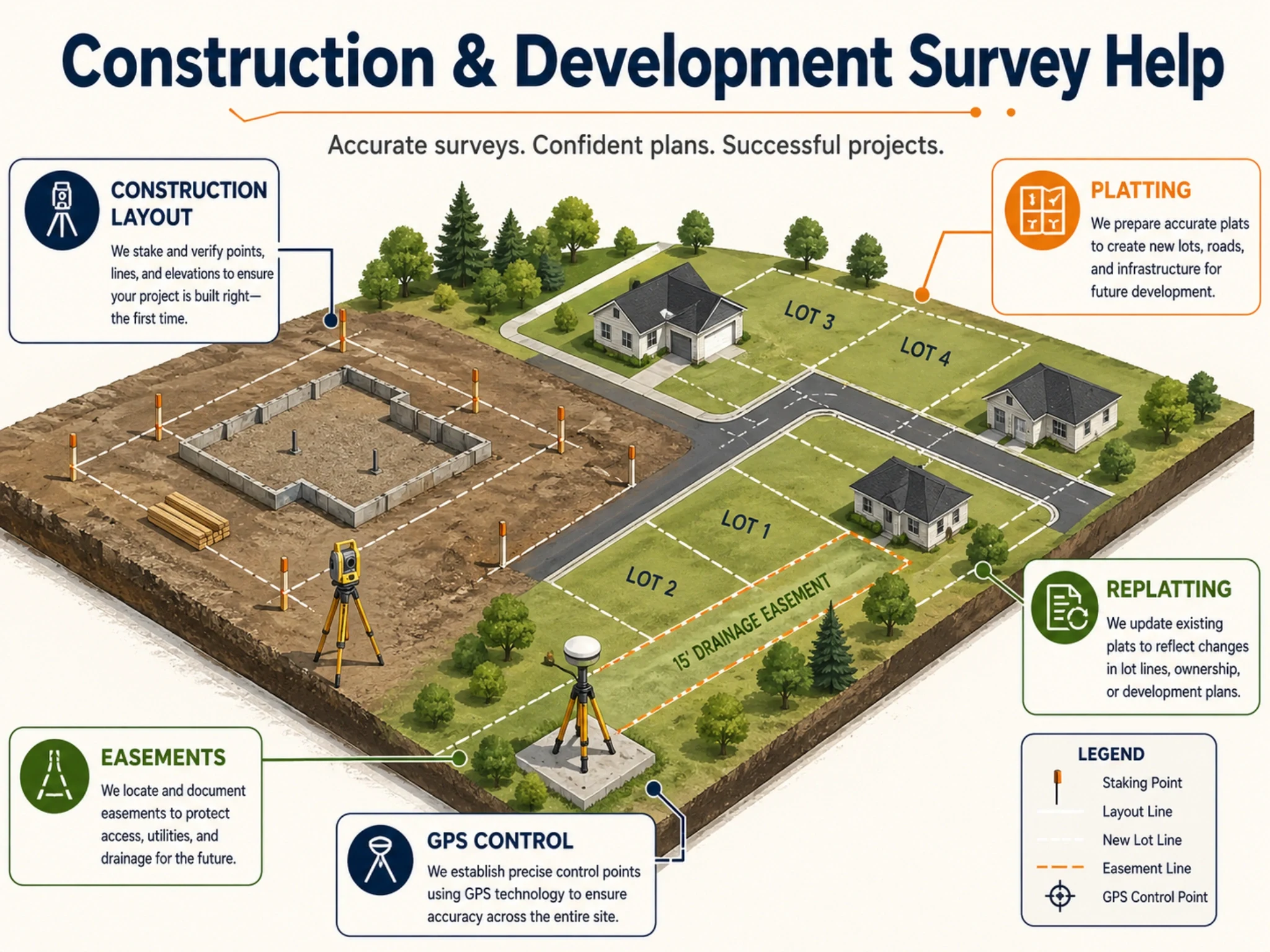
Builders and contractors may need control points or project reference information before construction staking, foundation layout, utility layout, or site improvement layout begins.
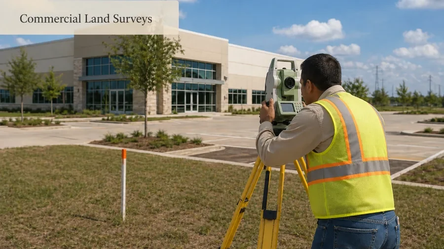
Commercial sites, redevelopment projects, and larger land development work may need control or datum coordination so survey, engineering, and construction teams are working from the same reference information.
Some projects include specific coordinate, benchmark, or datum requirements. A surveying provider can review the project notes, plans, or agency comments to determine what control or GNSS support may be needed.
The exact deliverables depend on the project scope, existing records, site conditions, and technical requirements. A control survey help request may involve setting, verifying, or documenting reference information used by other survey or design work.
Possible items include project control points, benchmark review, GNSS/GPS observations, CORS-based positioning support, datum control review, coordinate reference information, control ties for topographic survey work, control support for construction staking, and documentation that helps teams use a consistent project reference.
Houston projects can involve commercial development, drainage and grading design, flood/elevation concerns, roadway or utility coordination, construction layout, and redevelopment on complex sites. When multiple teams are involved, a consistent control framework can help reduce confusion between field work, design documents, and construction layout needs.
CORS stands for Continuously Operating Reference Station. NOAA’s National Geodetic Survey manages the NOAA CORS Network, which provides GNSS data that supports three-dimensional positioning and related surveying, mapping, engineering, and scientific applications in the United States.
GPS, CORS, datum control, geodetic control and survey control are related parts of project positioning. The right scope depends on the coordinate reference, accuracy requirement, existing control, project team and intended deliverable.
Users often mix technical survey terms. This section should help them choose the right page and reduce cannibalization between service pages.
Best when the project needs control points, datum coordination, GNSS/GPS positioning support, benchmarks, or reference information for other survey or engineering work.
Best when the project needs existing site features, elevations, contours, drainage-related information, or design base data.
Best when a contractor needs building corners, foundations, utilities, parking areas, drainage features, or other planned improvements marked in the field.
Best when the main question is property lines, lot corners, fence placement, encroachments, or neighbor boundary concerns.
The process starts by understanding why control is needed, what project documents already exist, and whether your details supports topographic mapping, construction layout, commercial survey work, or another service.
Provide the project address, plans, site notes, survey type, known coordinate or datum requirements, agency comments, deadlines, and any existing survey or control information.
A surveying provider can review whether your request is mainly for control, topographic survey support, construction layout support, ALTA/commercial survey support, or another survey service.
The provider can confirm what field work, records, control checks, GNSS/GPS observations, or documentation may be needed before providing a final quote.
Control survey support may be coordinated with topographic mapping, construction staking, site development, commercial survey work, or other project deliverables depending on the final scope.
Pricing can vary because control survey requests range from simple project-reference support to more involved GNSS, datum, benchmark or construction coordination needs. A quote is usually required because the technical scope, accuracy requirement and deliverables drive the work.
GPS/CORS and control survey terms can be confusing if you are not sure what your engineer, contractor, city reviewer, or project team is asking for. This page helps route your request toward the right survey support without forcing you to choose the exact technical service name first.
NOAA’s National Geodetic Survey manages the NOAA CORS Network, which provides GNSS data used by surveyors and other geospatial professionals to support three-dimensional positioning and alignment with the National Spatial Reference System.
Official resources are provided for verification and planning. Requirements can vary by property, transaction, lender, title company, municipality, county, insurer or project team.
These examples show how to prepare a clearer request before a surveying provider confirms the project-specific scope.
Typical request scenario
An engineer or contractor needs a consistent horizontal/vertical reference for work across a site. Provide the project coordinate/datum requirements, existing control, deliverables and required accuracy specifications.
Illustrative workflow — not a client claim or completed-project case study.
Typical request scenario
A project team wants coordinates tied to an established reference system. The provider should confirm the control strategy, equipment/workflow, datum/epoch requirements and whether static, RTK or post-processed observations fit the project.
Illustrative workflow — not a client claim or completed-project case study.
FAQs
Related
Some requests are better handled through a more specific service or guide page. Use these links if your project has a clear next step.
Ready to request help?
Share your project details, plans, technical requirements, and deadline. A Houston surveying provider can review whether your project needs control survey support, GPS/CORS positioning help, datum control, or a different survey service.
Houston, TX only. Requests may be reviewed or routed to a Houston-area surveying provider.