What Does a Property Survey Usually Show?
A property survey usually shows the shape and limits of a parcel, along with measurements and site details. Depending on the type of survey, it may show property lines, lot dimensions, building footprints, fences, driveways, easements, rights-of-way, setbacks, encroachments, trees, utilities, elevations, or title-related notes. A residential survey will not always include the same information as an ALTA, topographic, or elevation-related survey.
Common items you may see on a survey drawing
Common survey drawing elements can include: • property boundary lines • bearings, distances, and lot dimensions • building or structure outlines • fences, walls, driveways, or paved areas • easements, rights-of-way, or setback lines • north arrow, scale, legend, and notes • survey date, revision notes, and surveyor information
Common Parts of a Property Survey Example
A survey example is easier to understand when you know what each part is trying to show. Not every survey includes every item, but the following elements are commonly seen on residential, boundary, title, or site-related survey drawings.
Property boundary lines
Boundary lines show the outline of the parcel being surveyed. They may appear as solid or heavy lines around the lot, often with dimensions or bearing information near each side.
Bearings, distances, and dimensions
Measurements help describe the direction and length of boundary lines. These details are important because a survey is not just a sketch; it is a measured drawing based on records, field work, and the survey type.
Buildings, fences, driveways, and other improvements
A survey may show visible improvements such as a house, garage, driveway, fence, patio, pool, or other structures. What appears on the drawing depends on the purpose of the survey and your requested scope.
Easements, rights-of-way, and setbacks
Some surveys show easements, rights-of-way, building lines, or setback information. These items can affect where structures, fences, or improvements may be placed. If you are unsure what a note means, ask the survey provider, title company, or appropriate professional before relying on it.
Scale, north arrow, legend, notes, and date
A survey drawing usually includes orientation and reference details. The scale helps explain drawing size, the north arrow shows direction, the legend explains symbols, and the notes or date help identify the version or purpose of the survey.
Different Survey Types Can Look Different
A sample land survey can be helpful, but it should not make you assume every survey document looks the same. The format and details depend on the purpose of the survey.
Residential or property survey
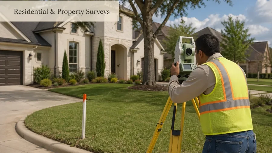
A residential property survey usually focuses on the property, lot, improvements, and common homeowner needs such as buying, selling, refinancing, or planning a project.
Boundary or property line survey
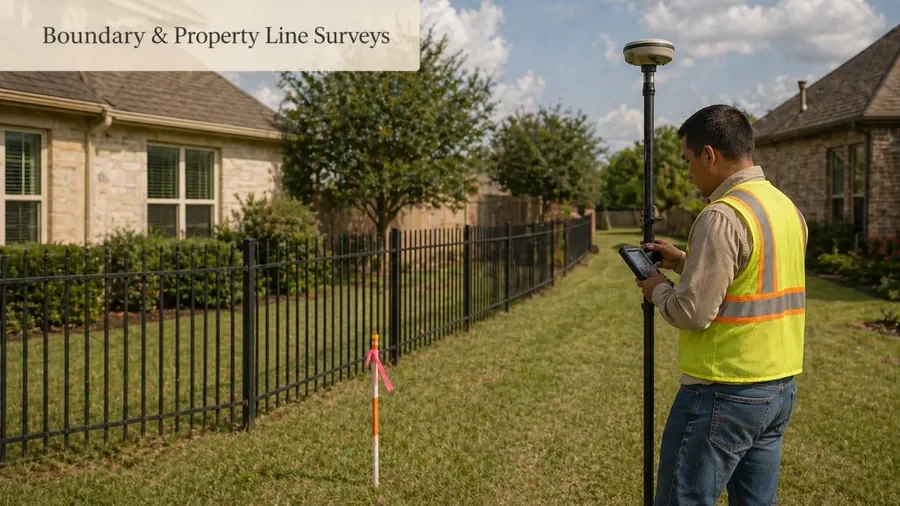
A boundary or property line survey focuses more directly on identifying property limits, lot corners, and line-related concerns such as fences, encroachments, or neighbor disputes.
ALTA/NSPS or land title survey
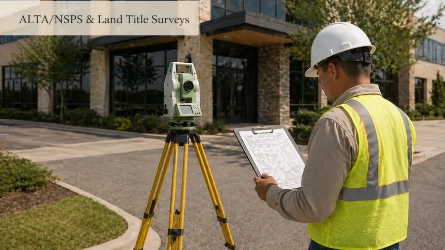
An ALTA/NSPS land title survey is usually more detailed and is often used for commercial real estate, lenders, title companies, attorneys, or developers. It may include title-related items and Table A requirements when requested.
Topographic survey
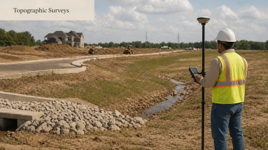
A topographic survey may show elevations, contours, drainage-related features, trees, improvements, and site details used by engineers, architects, builders, or designers.
Elevation certificate or flood-related document
An elevation certificate is not usually read like a basic boundary drawing. It focuses on elevation information and flood-related documentation, so the format and purpose are different.
How to Read a Simple Property Survey Diagram
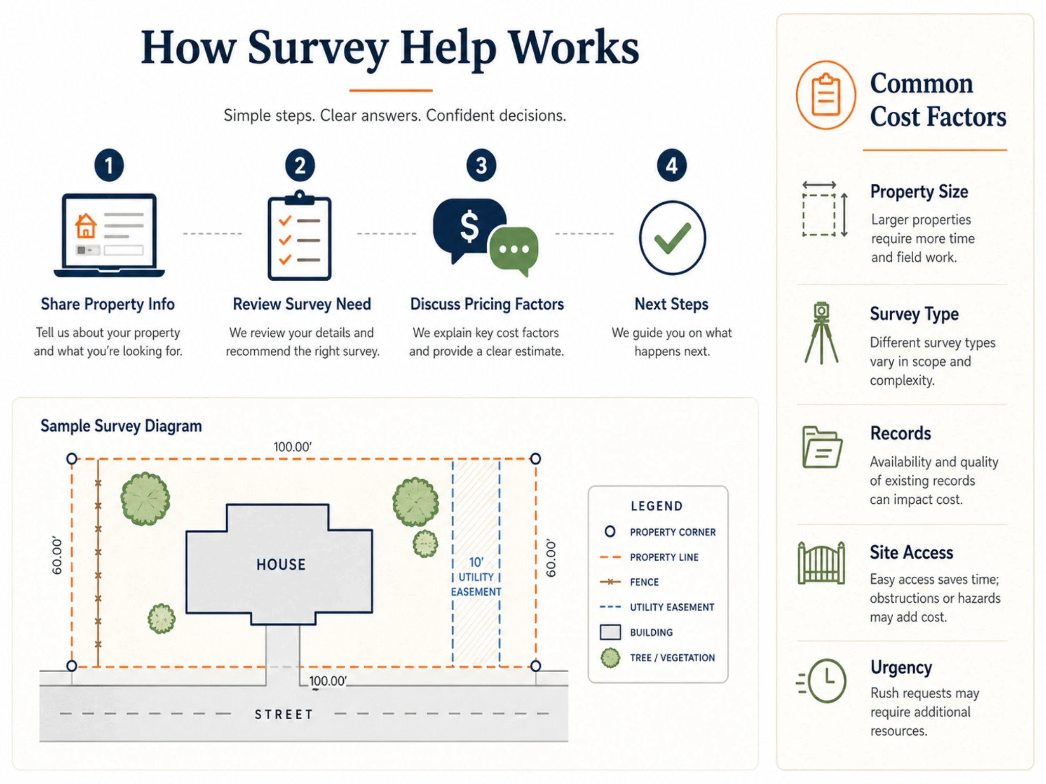
A simplified educational diagram can help you recognize common survey elements without representing a real parcel or replacing a signed professional survey.
Common labels you may see
Common labels can include:
How to Read a Property Survey Without Overreading It
A survey drawing can help you understand the property, but it is easy to misread symbols or notes if you are not familiar with survey documents. Use the drawing to understand general elements, then ask the survey provider or relevant professional before relying on unclear notes for a project, closing, or dispute.
- 1Step
Start with the title block and survey date
The title block or notes area can tell you the property, client/request type, survey purpose, date, revision notes, and sometimes the surveyor or company information.
- 2Step
Find the boundary and improvements
Look for the heavier boundary outline, then identify structures, fences, driveways, and other improvements shown inside or near the lot.
- 3Step
Review easements, notes, and exceptions carefully
Easements, rights-of-way, setbacks, title notes, and exceptions can affect how the survey is used. If a note is unclear, do not guess; ask for clarification.
When a Sample or Old Survey Is Not Enough
A sample survey can teach you what to look for, but it cannot confirm current conditions for your Houston property. An old survey may not show new fences, additions, driveways, easements, title changes, construction work, or site conditions.
Consider requesting a current survey when you are:
Consider requesting a current survey when you are: • buying or selling a property • building a fence or addition • planning a pool, garage, or site improvement • dealing with a boundary concern • preparing for a refinance or closing • working with a contractor, title company, or lender • unsure whether an old survey still reflects the property
What to Send When Requesting Help With a Survey Drawing
If you already have a survey drawing or report, you can prepare a few details before requesting help. This makes it easier to understand whether you need a simple explanation, a new survey pricing, a boundary-related service, or a more detailed commercial/title survey.
Helpful information to prepare
Helpful information includes: • Houston property address • reason you need the survey • copy/photo of the old survey if available • deadline or closing date • title commitment or lender request if applicable • permit or contractor request if applicable • whether you need boundary, residential, ALTA, topo, or elevation help
Related Houston survey pages