Quick Answer: What Is a Topographic Survey Used For?
Quick answer
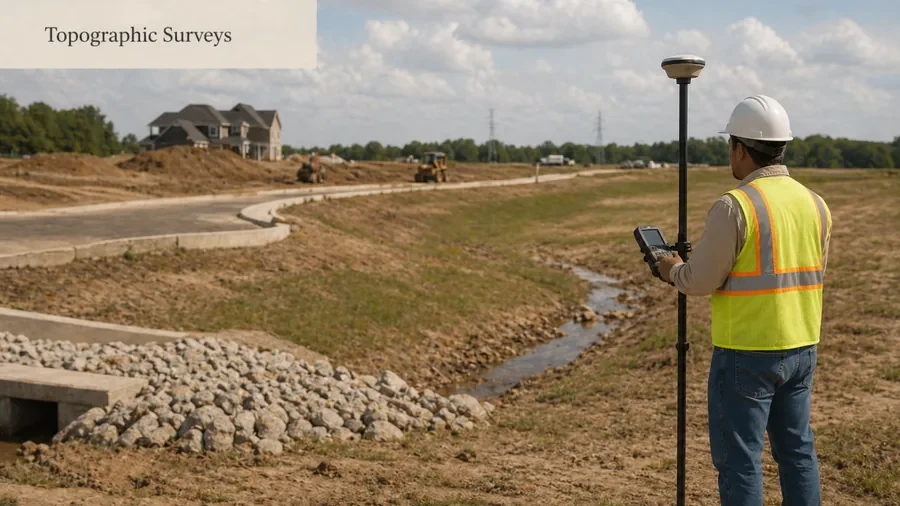
A topographic survey is used to map land elevations, contours, grade changes, and visible site features. It gives designers, builders, engineers, architects, and property owners a clearer picture of existing site conditions before planning or construction begins.Unlike a basic property survey that focuses mostly on boundaries, a topographic survey focuses on the physical layout and elevation of the land.
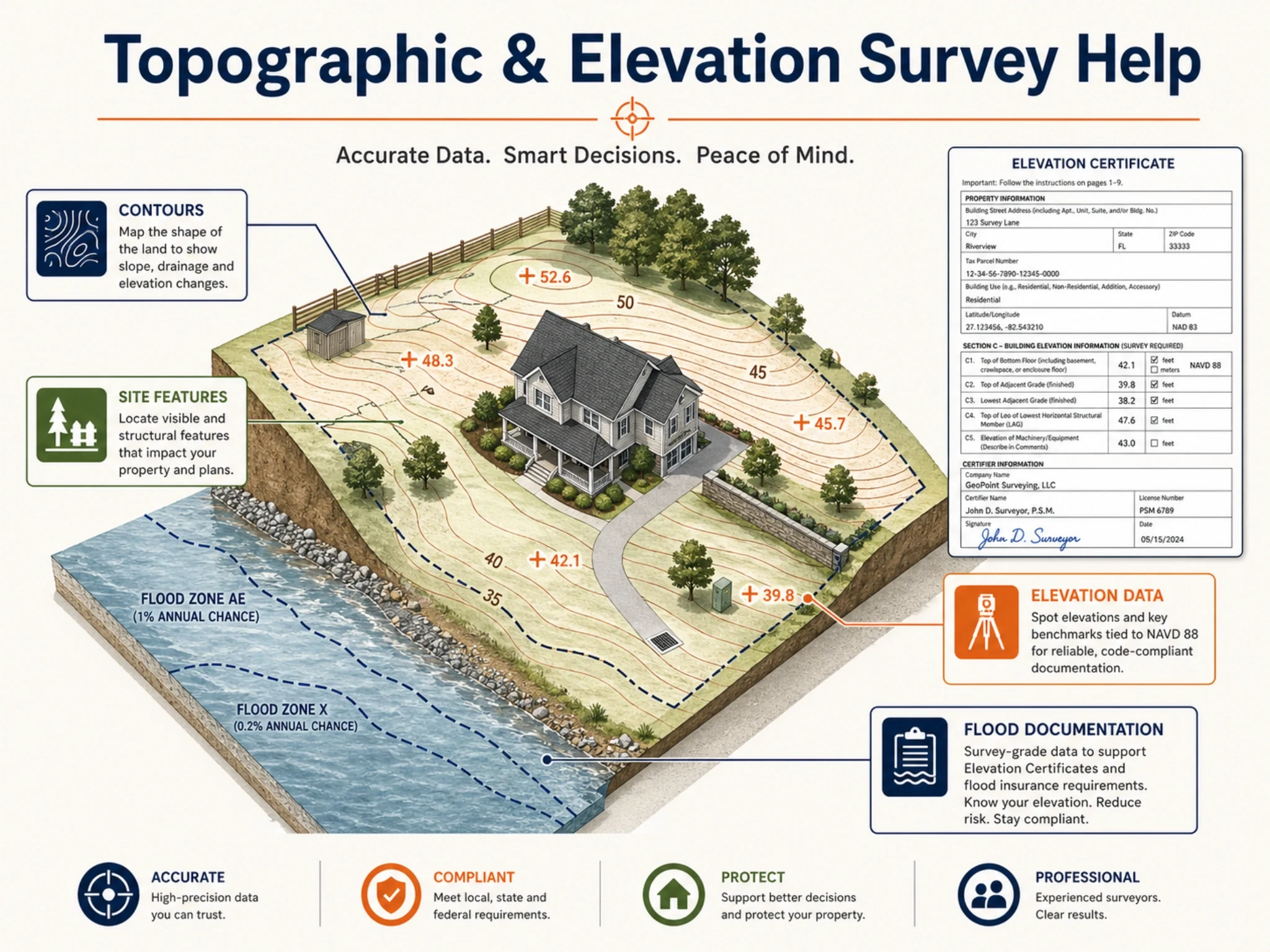
Common Uses for Topographic Surveys in Houston
Topographic surveys can be used for several different property and construction situations. The right use depends on the project, site conditions, and what a designer, builder, engineer, reviewer, or property owner needs to understand.
Site Design and Planning
A topographic survey can give architects, designers, and engineers a base map of existing site conditions. This may include elevations, structures, paved areas, visible features, and other details that help with planning a new project or site improvement.
Drainage and Grading Decisions
Because Houston properties can have drainage and elevation concerns, a topographic survey may help show how the land slopes and where grade changes exist. This information can support grading, drainage review, and design conversations with the right professionals.
Construction Planning
Builders and contractors may need topographic information before construction layout, foundation planning, utility planning, or site preparation. A topo survey can help the project team understand existing conditions before work begins.
Additions, Remodels, and Site Improvements
For certain additions, exterior improvements, pools, garages, driveways, or commercial site changes, a topographic survey may help show how the proposed work relates to existing grades, structures, and site features.
Commercial Development and Redevelopment
Commercial projects often require more site information than a basic residential request. A topographic survey may support due diligence, design coordination, drainage planning, grading, and development conversations.
Understanding Existing Property Features
A topo survey can help document visible natural and man-made features on a property, such as structures, pavement, trees, fences, utilities visible at the surface, grade changes, and other site details, depending on the scope.
What Information Can a Topographic Survey Show?
The exact deliverable depends on the project scope, but a topographic survey may show: spot elevations, contours, grade breaks, existing structures, paved surfaces, driveways, sidewalks, visible utilities, trees, drainage features, fences, walls, and other visible site improvements.The scope should be discussed before the quote, because not every project needs the same level of detail.
Why Topographic Information Matters for Houston Properties
Houston projects often involve site planning, grading, drainage, redevelopment, additions, and construction coordination. The City of Houston’s Planning and Development Department reviews development site plans and other property-development matters, and Houston Public Works has a Survey Section that reviews plans and documents related to private and public development projects.This does not mean every project requires a topographic survey. It means accurate site information can be important when a project involves design, construction, development review, drainage, or elevation-related questions.
Topographic Survey vs Boundary Survey vs Elevation Certificate
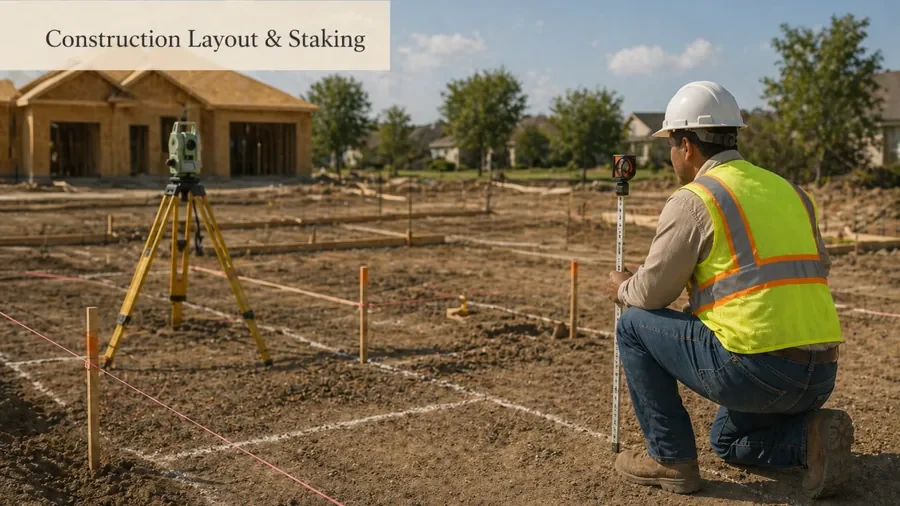
These survey terms are often confused, but they solve different problems. A topographic survey focuses on elevations, contours, and site features. A boundary survey focuses on property lines. An elevation certificate is usually related to floodplain, insurance, or elevation documentation. Construction staking marks planned work on the ground after design information is available.
Comparison
Which Survey Do You Actually Need?
Summary
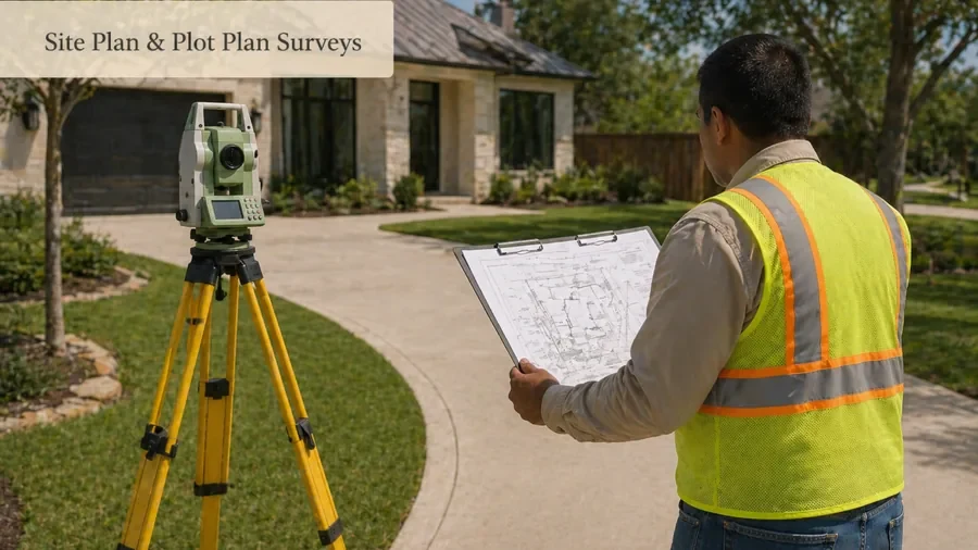
Topographic Survey: used for elevations, contours, site design, grading, drainage, and planning link to Topographic Survey Houston TX. Boundary/Property Line Survey: used for property lines, fences, lot corners, encroachments, and boundary questions link to Boundary & Property Line Survey Houston TX. Elevation Certificate: used for flood/elevation documentation when requested by insurance, permit, or floodplain process link to Elevation Certificate Houston TX. Construction Staking: used to mark planned construction points on site link to Construction Layout & Staking Houston TX. Site Plan/Plot Plan: used to show proposed/existing improvements for planning or permit review link to Site Plan & Plot Plan Survey Houston TX.
How to Request Help About Topographic Survey Help in Houston
The help process usually starts with the property address, project purpose, and requested deliverables. If you have an old survey, site plan, architectural plan, engineering request, drainage concern, or permit-related note, include it with your details.
- 1Step
1. Share the Property and Project Details
Provide the property address, reason for the survey, project type, deadline, and any documents you already have.
- 2Step
2. Confirm the Survey Scope
A provider can help determine whether your request needs contours, spot elevations, visible utilities, trees, drainage features, structures, or other site details.
- 3Step
3. Review Quote Factors
Pricing can vary based on property size, site complexity, access, detail level, records, urgency, and deliverable requirements.
- 4Step
4. Schedule Field Work and Receive Deliverables
If the project moves forward, field work and drafting are completed according to the agreed scope, then the survey/map or data deliverable is provided.
What Affects the Cost of a Topographic Survey?
Topographic survey cost depends on the property and scope. Common factors include lot size, amount of detail needed, terrain, accessibility, number of visible features, required contours/spot elevations, deadline, and whether the survey supports construction, site design, drainage, or commercial development.Avoid relying on generic online price ranges. A Houston quote is usually more accurate once the project scope is clear.
Related Houston survey pages