Flood Insurance Requests
Some property owners are asked for elevation information when working through flood insurance, policy review, or risk-related documentation.

Need an elevation certificate or flood-related survey help for a Houston property? This page is for property owners, buyers, insurance-related requests, builders, and project teams who need elevation documentation, floodplain review support, or help understanding what type of flood/elevation survey help request fits their situation.
Houston, TX only · Requests may be reviewed or routed to a Houston-area surveying provider.
Share your property address, the reason for the survey, and any deadline. A Houston surveying provider can review your request and explain the next step.
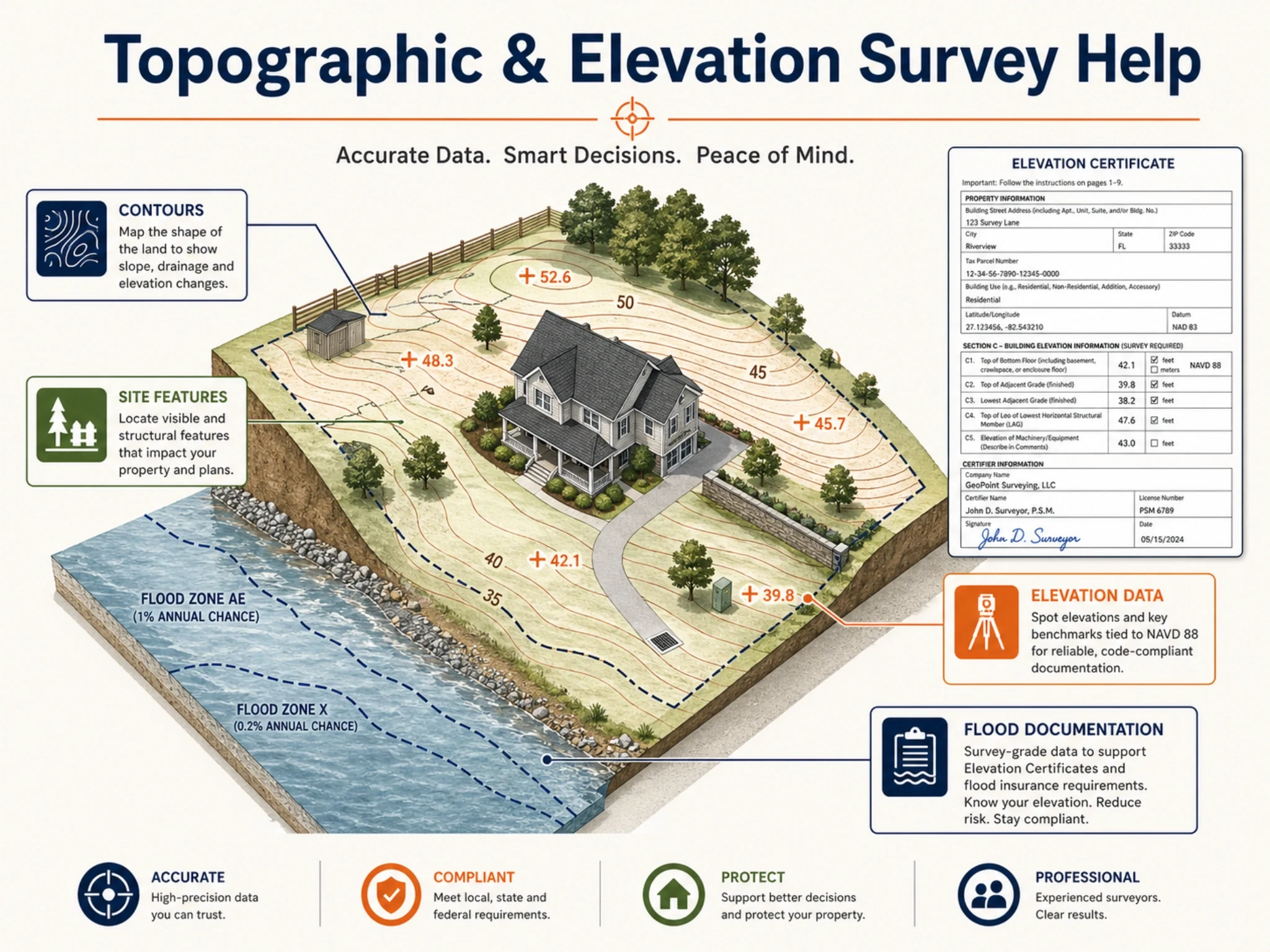
An elevation certificate is commonly used to document elevation-related information for a building or property. In Houston, this type of request may come up for flood insurance, floodplain permitting, construction review, property transactions, or when a property owner needs clearer documentation about elevation and flood-related requirements.
Some property owners are asked for elevation information when working through flood insurance, policy review, or risk-related documentation.
A Houston property may need elevation documentation when a project involves floodplain review, construction activity, or permit-related requirements.
Buyers, sellers, lenders, or agents may request flood/elevation information during property review, due diligence, or closing preparation.
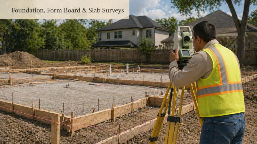
Builders or owners may need elevation-related documentation before, during, or after certain work, especially when floodplain or foundation elevation requirements are involved.
Some property owners may need survey information for FEMA-related map change or flood zone review processes such as LOMA, ELOMA, or LOMR-related requests.
Commercial owners, managers, or project teams may need elevation and flood-related documentation as part of due diligence, renovation, development, or risk review.
The exact scope depends on the property, purpose, and required form or documentation. An elevation certificate or flood-related survey help request may involve property information, building location details, elevation measurements, flood zone information, and required certification details prepared by the appropriate qualified professional.
Houston has many properties where floodplain, drainage, construction, and insurance-related questions can affect what documentation is requested. The City of Houston Floodplain Management Office is responsible for permitting construction activity within the Special Flood Hazard Area under local floodplain ordinance and FEMA-related regulations. This makes accurate flood/elevation documentation important when a property or project requires it.
A general property survey usually focuses on property details such as boundaries, improvements, or lot information. An elevation certificate is focused on elevation and flood-related documentation. If you are unsure which one you need, the survey request should explain why the document is being requested.
Some flood-related requests involve FEMA mapping, flood zone questions, or map change processes. Terms like LOMA, ELOMA, and LOMR may come up when a property owner is trying to review how a structure or land relates to mapped flood information. These requests should be reviewed carefully because the needed documentation can vary by property and situation.
Elevation Certificate
documents elevation-related building/property information
Flood Survey
general user wording for flood/elevation survey help. LOMA/ELOMA/LOMR: FEMA-related map change or map revision processes that may need survey information. Flood Zone Survey: user wording for checking flood-related survey needs.
A flood/elevation request is easier to review when the property address, reason for the certificate, existing documents, and deadline are clear. The provider can then explain what documentation may be needed and whether your request fits an elevation certificate, flood survey, topographic survey, foundation survey, or another survey type.
Provide the Houston property address and explain whether the document is for insurance, permitting, construction, closing, floodplain review, or another requirement.
If you have an old elevation certificate, flood insurance letter, permit request, survey, deed, title document, or FEMA-related notice, include it with your details.
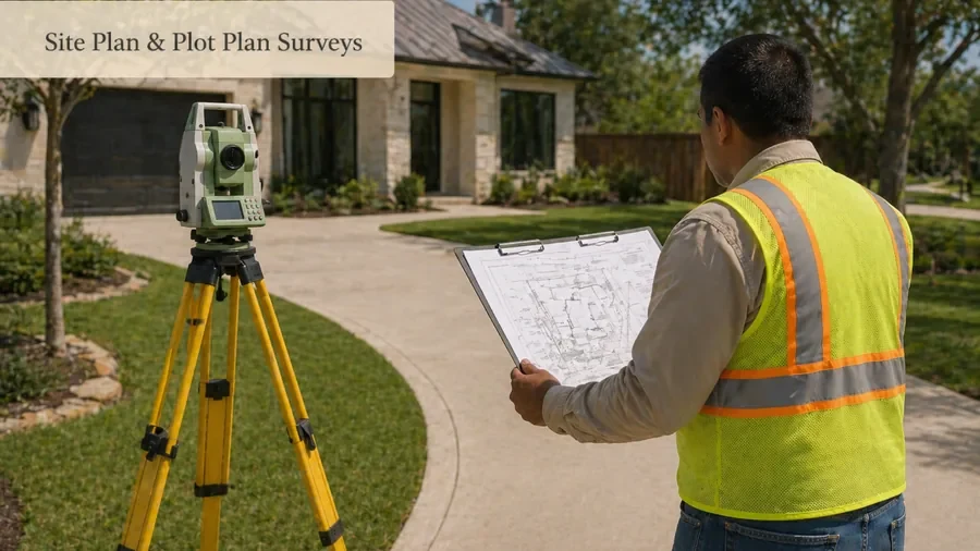
A provider can review whether your request fits an elevation certificate, topographic survey, foundation elevation, site plan, or another survey service.
Pricing and scheduling can depend on the property, access, urgency, documentation required, and the level of field work or research needed.
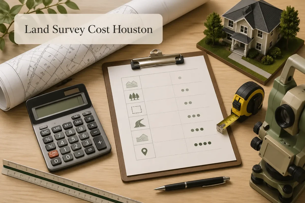
Elevation certificate cost can vary because each property, building, flood zone situation, and documentation requirement may be different. A quote is usually needed because a simple insurance-related request may not involve the same work as a construction, foundation, or FEMA-related request.
Flood and elevation documentation can be confusing because different parties may ask for different forms, certificates, or survey details. The goal of this page is to help you request the right type of Houston survey support without guessing or creating duplicate requests for the wrong service.
A survey document can provide needed elevation information, but it does not guarantee insurance changes, permit approval, FEMA map changes, or any specific decision by another party. The reviewing agency, insurer, lender, or permitting office makes its own determination.
Elevation work should use the correct form, vertical reference and project instructions. FEMA publishes the Elevation Certificate, while the Harris County Flood Control District maintains a countywide network of more than 1,600 floodplain reference marks used for floodplain and permitting work.
Official resources are provided for verification and planning. Requirements can vary by property, transaction, lender, title company, municipality, county, insurer or project team.
These examples show how a request can be scoped before it reaches a surveying provider. They are planning scenarios, not representations of past clients.
Typical request scenario
A property owner is asked for an Elevation Certificate. Provide the property address, the exact form/request from the insurer or lender, building information and any existing flood or elevation documents.
Illustrative workflow — not a client claim or completed-project case study.
Typical request scenario
A project needs certified elevation information for a permitting or floodplain decision. Confirm the reviewing authority, required datum or benchmark reference and the specific elevations the reviewer expects.
Illustrative workflow — not a client claim or completed-project case study.
FAQs
Related
Some requests are better handled through a more specific service or guide page. Use these links if your project has a clear next step.
Ready to request help?
Need help with an elevation certificate, flood survey help request, FEMA-related documentation, or floodplain/elevation question for a Houston property? Share your property details and the reason for your request to get started.
Houston, TX only. Requests may be reviewed or routed to a Houston-area surveying provider.