Need help choosing the right land survey service in Houston? This page gives you a simple overview of common residential, commercial, construction, title, flood, and development-related survey services. If you already know the survey type you need, choose a service below. If you are not sure, submit your property details so your request can be routed toward the right next step.
Suggested fields below. Include the survey type or choose ‘Not sure’ — your details will be routed toward the right next step.
Choose a service
Find the Right Survey Service for Your Houston Property
Different properties and projects require different survey documents. A homeowner planning a fence may need a boundary or property line survey, while a title company may request an ALTA/NSPS land title survey. A builder may need construction layout, and a property owner dealing with flood documentation may need an elevation certificate.
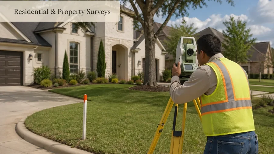
Residential & Property Surveys
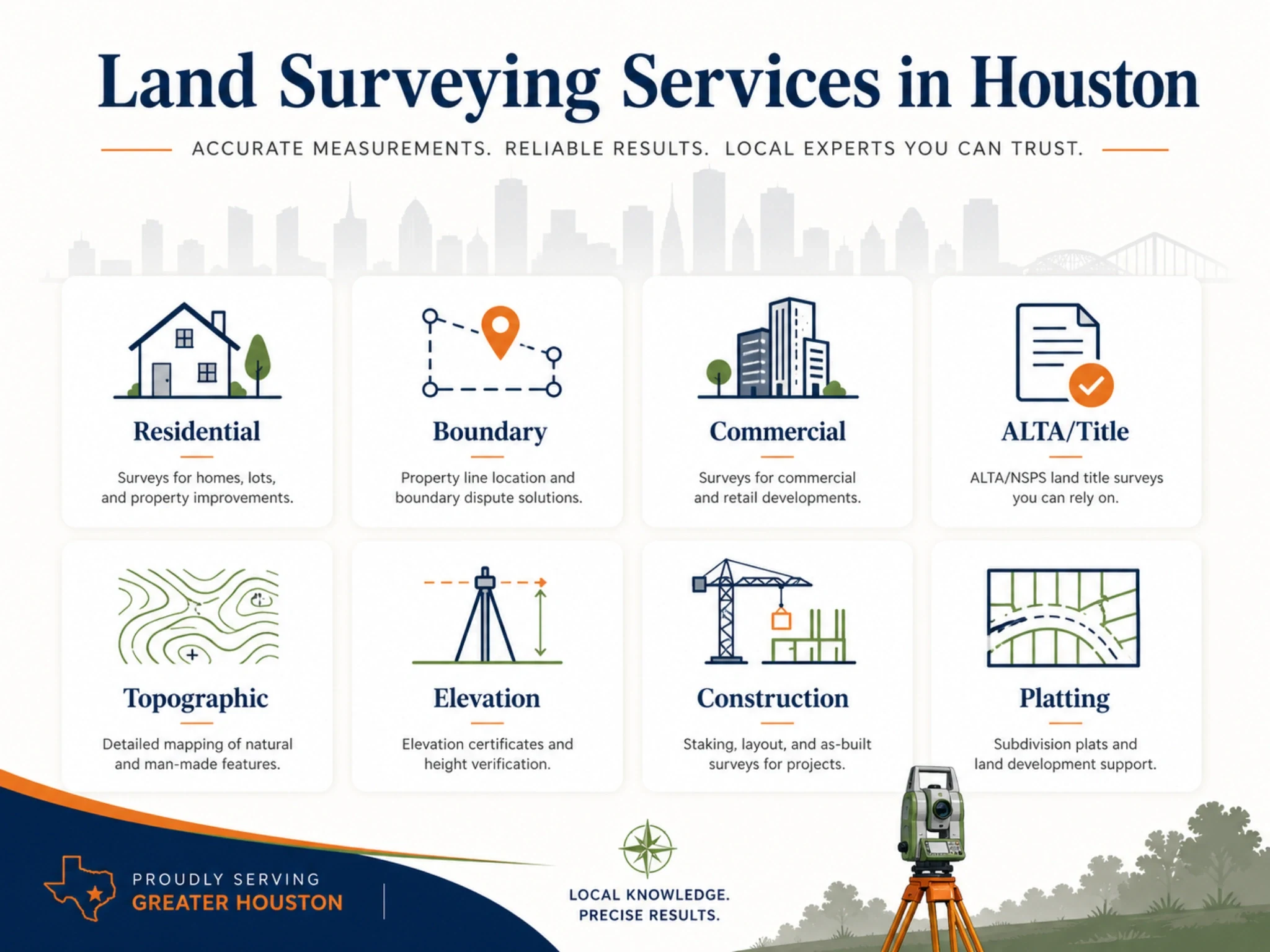
Residential and property surveys are commonly requested for home purchases, refinance questions, lot information, property documentation, and general homeowner survey needs. This is the best starting point for many Houston homeowners who need help understanding their property.
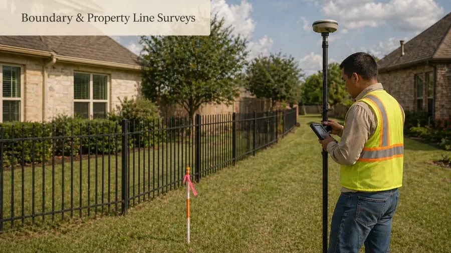
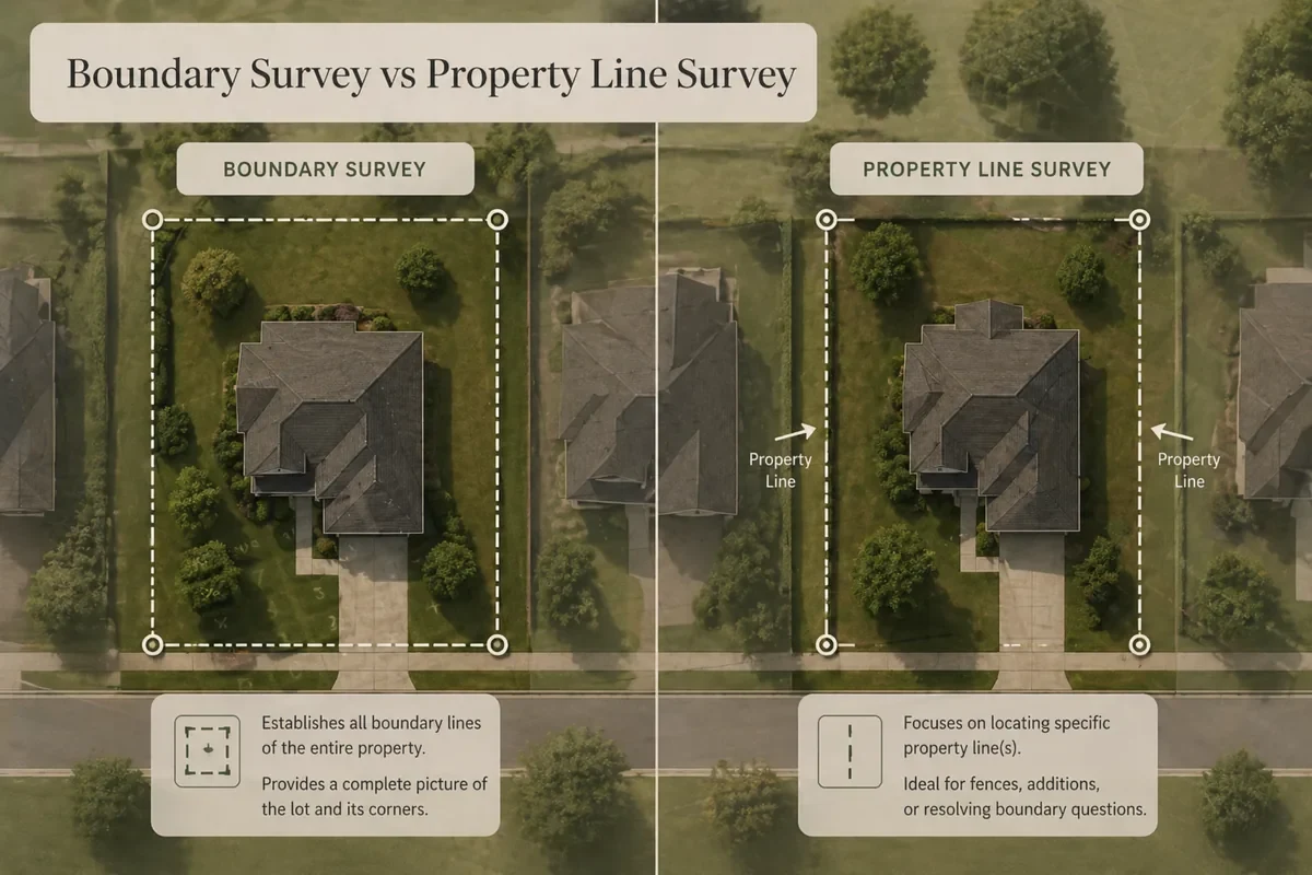
Boundary and property line surveys help identify property limits, lot corners, fence line questions, encroachments, and neighbor boundary concerns. This service is more specific than a general residential property survey.
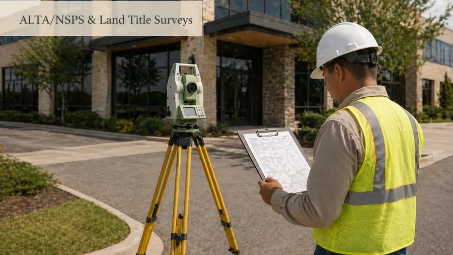
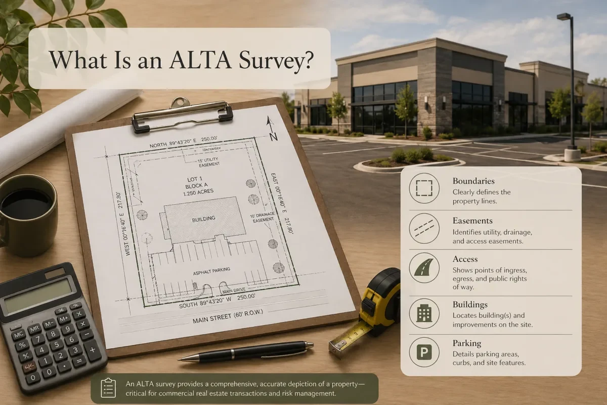
ALTA/NSPS and land title surveys are commonly used for commercial real estate transactions, lender requirements, title company requests, and due diligence. These surveys are usually more detailed than standard property surveys.
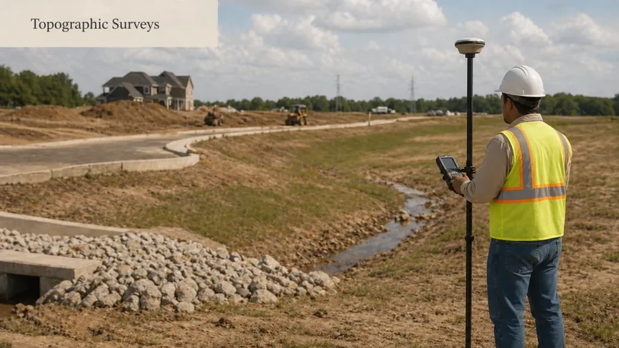
Topographic surveys map site features, elevations, contours, and existing conditions that may be needed for design, grading, drainage, engineering, or construction planning.
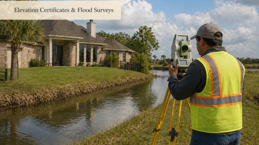
Elevation certificates and flood-related surveys may be needed for flood insurance, permitting, construction, or floodplain documentation. This page should route users to the detailed flood/elevation service page.
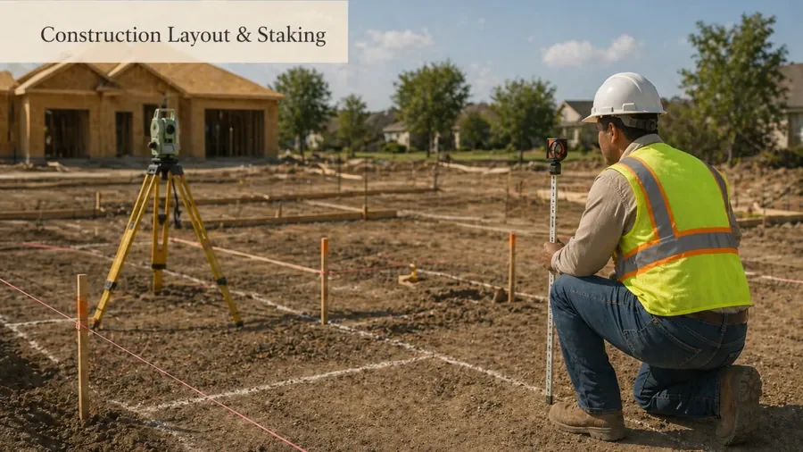
Construction staking and layout help transfer approved plans to the job site by marking buildings, foundations, utilities, drainage features, parking areas, or other planned improvements.
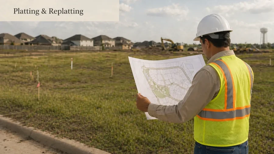
Platting and replatting support land development, lot changes, subdivision needs, and recorded plat requirements. This service is different from a basic property survey or site plan.
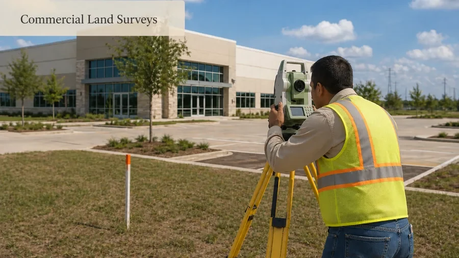
Commercial land surveys for buyers, developers, business owners, lenders, title companies, architects, and engineers who need detailed survey information for due diligence or site planning.
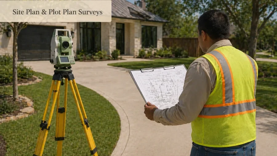
Site plan or plot plan survey help may be needed for permit review, additions, remodeling, lot layout, or property improvement planning. This is a support service for users who need drawing/document help for a property project.
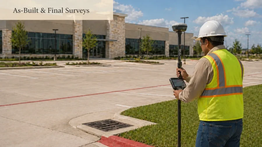
As-built and final surveys help document completed site improvements after construction or near project closeout. These surveys can help owners, builders, engineers, and reviewers confirm what was built.
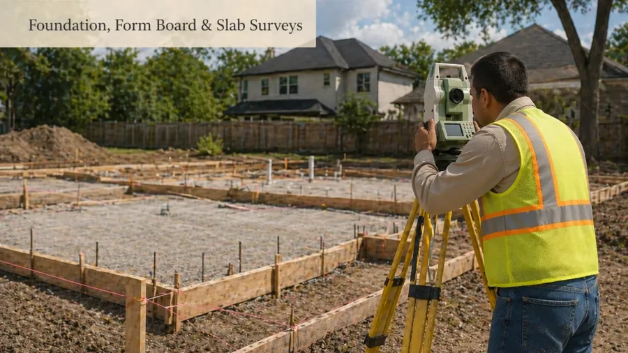
Foundation, form board, and slab-related surveys support construction stages where layout, elevation, or foundation documentation may be needed. These are construction-phase services, not general property surveys.
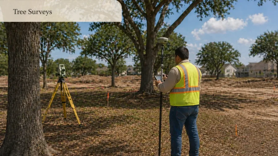
Tree survey help may be needed for site planning, construction, additions, redevelopment, or development review where tree locations and site features must be documented.
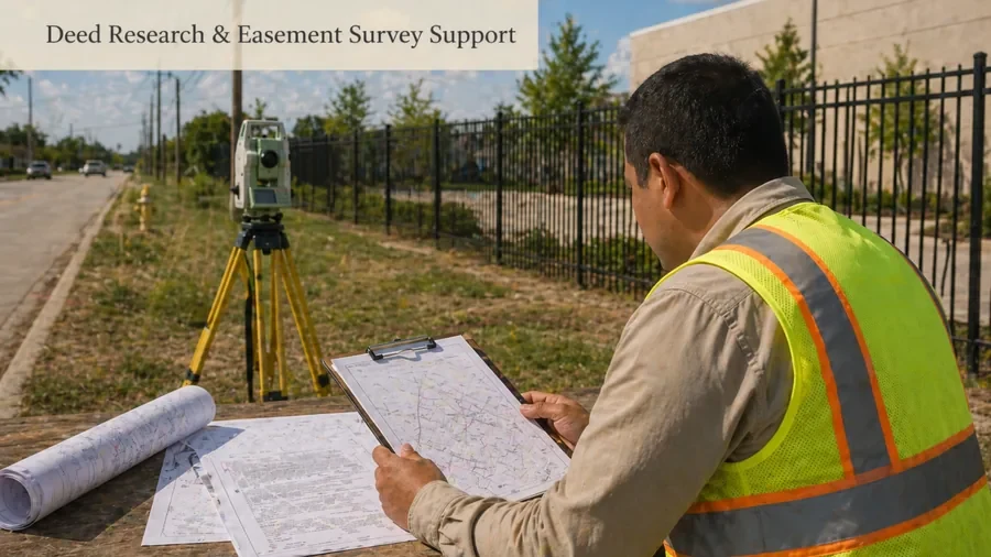
Deed research, easement review, legal description support, and right-of-way questions can connect with boundary, title, platting, and commercial survey work. Positioned as survey-related document support, not legal advice.
GPS/CORS and control survey support is more technical and may be used for topographic mapping, construction control, datum needs, and larger commercial or engineering projects.
If you are unsure which service fits your situation, start with the reason for the survey. Are you buying a home, building a fence, preparing for a commercial closing, planning construction, dealing with flood documentation, or changing land/lot records? The reason usually points to the right survey type.
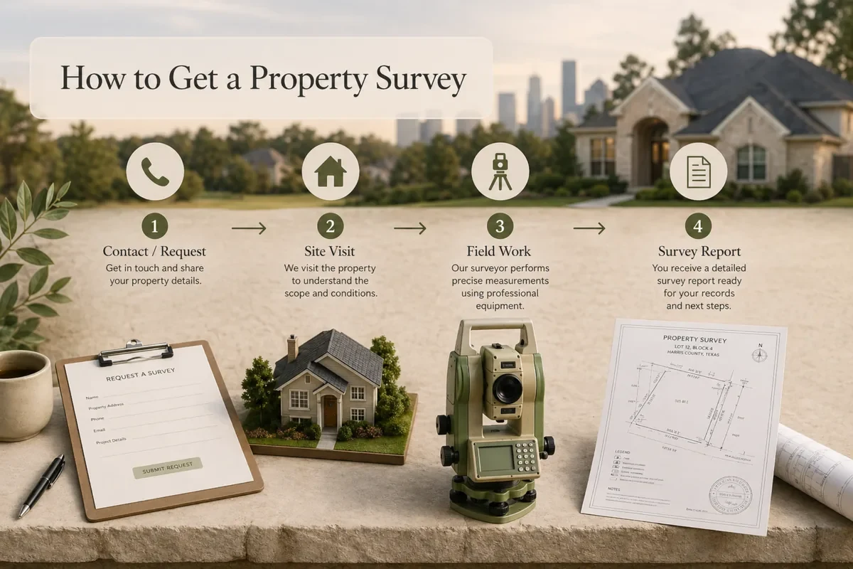
Share property address, the reason for the survey, and any deadline.
2Step
A provider reviews the request and confirms the right survey type.
3Step
Quote details depend on survey type, size, records, access, and complexity.
4Step
If you move forward, the provider explains field work, mapping, and document delivery.
Cost
What Affects Survey Pricing?
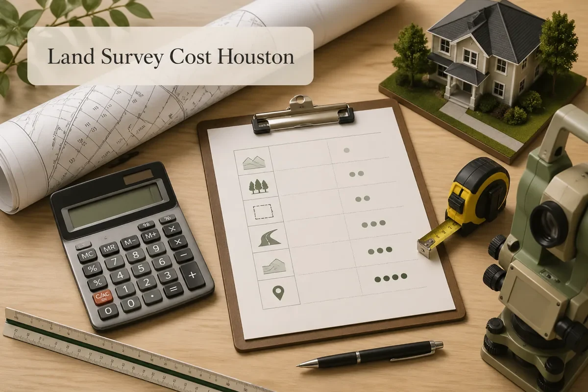
Survey cost depends on the survey type, property size, site access, required research, deliverables, deadline, and project complexity. A simple residential request is different from an ALTA survey, topographic survey, construction staking project, or platting support request.
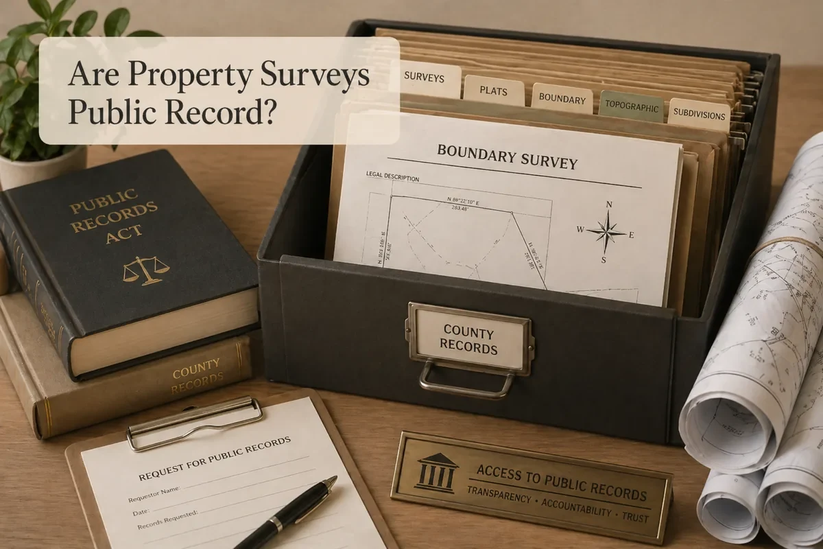
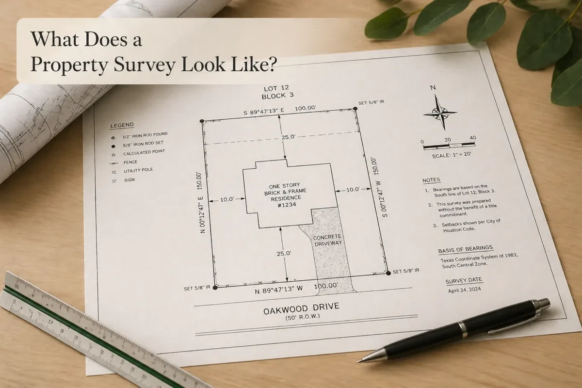
Helpful resources include the land survey cost guide, how to get a property survey in Houston, public record guide, property survey example guide, and comparison pages for boundary/property line, ALTA, topographic, and platting topics.
The best survey service depends on the problem you need to solve. A homeowner planning a fence, a buyer preparing for closing, a developer changing lot configuration, and a lender requesting ALTA/NSPS work usually need different survey scopes.
Property and boundary needs
Use residential, property, boundary, or property-line survey help for lot, fence, closing, and neighbor-line questions.
Design and construction needs
Use topographic, construction staking, foundation, as-built, or GPS/control help for design and build-stage work.
Title, flood, and development needs
Use ALTA/NSPS, elevation certificate, platting, replatting, deed research, or easement survey help when records, title, floodplain, or municipal review is involved.
Use these official resources for research only. Final requirements can depend on the property, project, lender, title company, city, county, or reviewing authority.
Request Help About a Houston Survey Service
Need a property survey, boundary survey, ALTA survey, topographic survey, elevation certificate, construction staking, or another survey-related service? Share your property details, service type, and reason for the survey so the request can be routed to the right next step.